Walking Through Time: A Journey Up Mount Kenya’s Chogoria Route
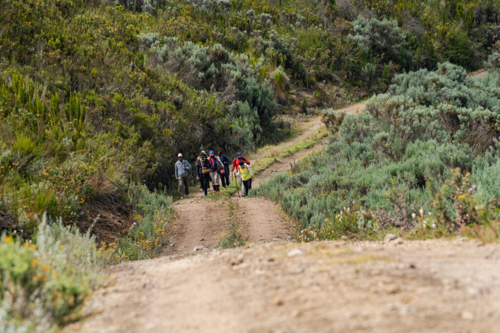
The journey to the roof of Kenya begins long before the first step on the mountain. Our group left the noisy streets of Nairobi early in the morning, driving through the green hills of Tharaka Nithi. As we moved higher, the air became cooler and the trees grew thicker. I was traveling with a small group of friends and experts: Judy Mbuba, a local business owner who knows these trails by heart; Victor Kinyanjui, our guide and history expert; Phillis Gathoni, an enthusiastic hiker; and Nduti June, a professional mountaineer. Together, we were heading for the Chogoria Route, widely considered the most beautiful path up Mount Kenya.

After reaching the park gate and walking for a short while, we heard it before we saw it. Nithi Falls is a powerful wall of water that drops nearly 70 meters into a misty basin below. The sound was so loud we had to raise our voices to speak. Judy, who has hiked this route many times, pointed out how the mist makes the surrounding plants look like a hidden rainforest. While we stood by the falls, Judy reminded us that while the views are stunning—especially the bright sunrises and calm sunsets—the mountain is not to be taken lightly. She noted that the temperature can drop very quickly, and anyone coming here needs to have the right warm clothes and gear to stay safe. Her advice was a good reminder that nature’s beauty often comes with a bit of a chill.
Just a short walk from the falls, Njenga Waiganjo led us to a dark opening in the rocks. These are the Nyumba ya Mbori caves, a name that means “House of Goats” in the local language. Inside, the air was still and cool. Victor explained that during the struggle for Kenya’s independence, these caves were a secret home for Mau Mau freedom fighters.
The location was chosen perfectly. The loud noise from Nithi Falls acted like a natural sound barrier, hiding the voices of the warriors from colonial soldiers searching the area. Njenga Waiganjo told us that the name itself was a secret code; if a soldier heard someone talking about the “House of Goats,” they would think it was just a place for animals, not a military meeting spot. It was a clever way to keep their plans for freedom safe.
As we climbed higher, the landscape opened up into wide moorlands. We reached Lake Ellis, a peaceful body of water sitting at about 3,455 meters. The lake is named after Thomas Ludlow Ellis, an early explorer who mapped parts of the mountain in the early 1900s.
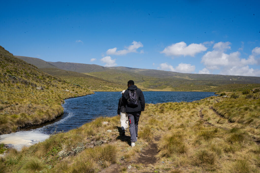
Phillis was the first to reach the edge of the water. She remarked on how the hike to the lake felt easy and steady, offering a great reward for the effort. From our spot by the water, the view looking down was incredible. Judy joined us and pointed toward the horizon, where the two highest peaks of the mountain, Batian and Nelion, were clearly visible against the blue sky.
Next, we climbed Mugi Hill, a rounded volcanic cone that stands out from the flat ground. From the top, we could see one of the mountain’s strangest sights: the Giant’s Billiard Table. This is a massive, flat-topped plateau that looks exactly like its name suggests. Phillis was excited to see the contrast between the flat rock table on one side and the jagged, snowy peaks on the other.
| Landmark | Altitude (Approx.) | Key Feature |
| Nithi Falls | 2,400m | 70m waterfall and Mau Mau caves |
| Lake Ellis | 3,455m | Glacial lake named after T.L. Ellis |
| Mugi Hill | 3,500m | Volcanic cone with 360-degree views |
| Giant’s Billiard Table | 3,300m | Flat-topped geological plateau |
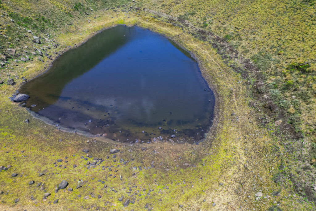
Our path then led us down toward a spot known as Ketch Turn. This area is named after a pilot who was famous for his brave search and rescue missions on the mountain. Njenga shared some worrying news as we looked at the small lake nearby. He explained that the water level has been dropping steadily, and some experts believe the lake could disappear entirely within the next few years due to changing weather patterns.
He encouraged us to take in the sight while we still could. Nduti, our professional hiker, agreed that this part of the mountain is a hidden gem. She mentioned that even for people who don’t want to climb all the way to the top, hiking down to see this lake is a great experience because it isn’t too difficult but still feels like a real adventure.
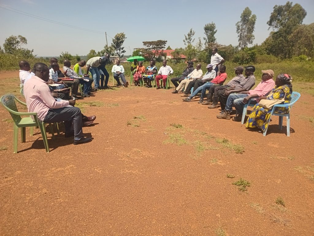
As we finished our descent, we followed an old trail used by freedom fighters decades ago. At the bottom of the mountain, near the Mutindwa Forest, we met a local community that is working hard to keep their history alive. Unlike the rest of our trip, this was a group of people we met at the end of our hike.
We spoke with one of their leaders, who told us about their group. It started because the older people in the area were worried that their traditions were being forgotten by the younger generation. Most of the members are between 70 and 90 years old, but they are very dedicated. They meet regularly and each person gives 150 Kenyan shillings to help fund their projects.
Their biggest goal is to save an old house built in 1916, which once belonged to a colonial ruler. They want to turn it into a museum where hikers, students and tourists can learn about the history of the mountain and the people who live near it. It was inspiring to see how much they care about their roots.
Mount Kenya is more than just a pile of rocks and ice. It is a place where every waterfall, cave and lake has a story to tell. Whether it is the secret history of the Mau Mau at Nithi Falls or the changing environment at Ketch Turn, there is always something to learn.





This leaves me wanting to take that trip to Mt. Kenya.